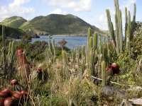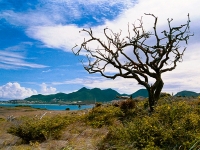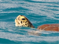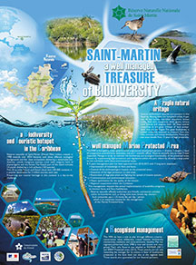
Inaugurated in March 2018 at the Babit Point site by Anne-Marie Bouillé, head of the Conservatoire du Littoral in Saint Martin, an observation map allows the public to identify the magnificent landscapes overlooking the rolling waves of the Atlantic Ocean on one side and the surrounding hillsides on the other. The map is embedded in a table made of lava, which should resist the weather over time. This is part of the ecological and landscaping restoration project at Babit Point, led by the Conservatoire du Littoral and the Réserve Naturelle in collaboration with local residents. In June 2013, members of the Oyster Pond homeowners’ association donated a 4.7-hectare plot of land to the Conservatoire du Littoral. This acquisition was added to the purchase of a 1.8-hectare plot, bought by the Conservatoire in April 2013 from local sellers. The project started in 2014 with the demolition of a house in ruins and continued with the installation of a wooden enclosure in 2015. The next step will be the creation of a reception area for the public, as well as a botanic nature walk. The overall project was funded at 80% by the French government and 20% self-funded by the Conservatoire du Littoral, for a total of 112,231 euros.
Observation Map At Babit Point
Téléchargez le PDF: 

De gauche à droite : Régis Armengaud, représentant de la DEAL ; Christophe Joe, garde de la RN ; Nicolas Maslach, directeur de la RN ; Ashley Daniel, garde de la RN et Anne-Marie Bouillé, chargée de mission du Conservatoire du littoral